- calendar_today June 20, 2026
The National Weather Service has confirmed two more tornadoes in the Ohio region, underscoring the impact of Thursday’s severe storms across the Tri-State area. The latest tornado confirmations bring the total count from this storm system to six, stretching across Ohio and neighboring counties.
NWS Confirms Two Tornadoes in Northern Kentucky
Officials from the National Weather Service (NWS) verified that one tornado struck Grant County early Thursday morning, with assessments ongoing to determine the twister’s strength and full impact. A second tornado, classified as an EF1 tornado, touched down in Boone County before moving into Kenton County, carving a path of destruction through both areas.
Extent of Tornado Damage Documented
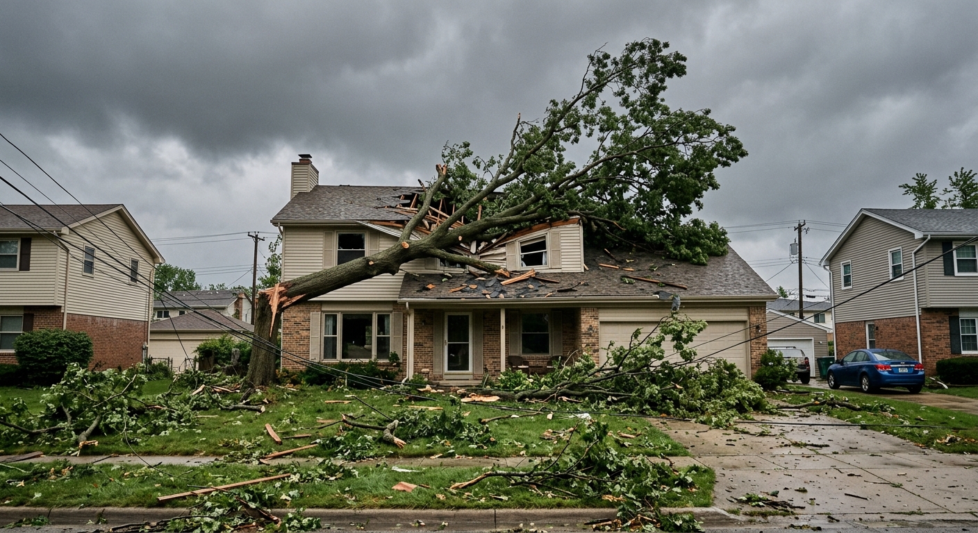
According to the NWS, the EF1 tornado caused widespread storm damage. Powerful tornado winds reaching 100 mph were recorded near US-42 and Dream Street. As the tornado tracked northeast from Boone into Kenton County, it snapped trees, damaged power poles, and tore the roof off a commercial building. In Kenton County, several homes suffered additional damage from fallen trees.
Communities Respond to Severe Storms
The region’s local agencies and emergency services mobilized quickly to assess and address hazards following the severe storms. Crews in Boone County, Kenton County, and Grant County collaborated with the NWS to survey damage sites and ensure resident safety. Public works and utility companies are currently working to clear debris and restore power in affected neighborhoods.
Comprehensive Tornado Reports in the Tri-State Area
These tornadoes represent the fifth and sixth confirmed tornadoes tied to Thursday’s system in the Tri-State area. Other confirmed tornado events from the same storms include:
- An EF2 tornado crossing Dearborn, Ohio, and Boone counties
- An EF2 tornado in Carroll County, Kentucky
- EF2 tornadoes in Mason County, Kentucky, and Franklin County, Indiana
The NWS emphasizes that some storm surveys remain in progress, with final assessments expected in the coming days.
Ongoing Assessments and Community Impact
While the full impact of the storm system is still being documented, agencies stress the importance of storm preparedness moving forward. Area residents are urged to stay alert for future weather updates and review emergency protocols. Institutions and emergency management teams across Ohio and neighboring counties highlight that rapid response helped mitigate further risk during the height of the tornado activity.
Looking Ahead: National Weather Service Reports Pending
With the reports from the National Weather Service still unfolding, local and regional authorities in the Ohio region remain vigilant. The incident serves as a reminder of the unpredictable nature of severe storms in the Tri-State area and reinforces ongoing community partnerships focused on disaster preparedness and recovery. As the NWS finalizes its tornado assessments, residents will be kept informed of updated safety recommendations and findings.